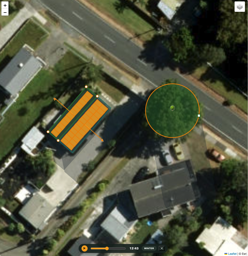
Type your address and see it on your real roof — its pitch, the way it faces, the trees and buildings that shade it, and what a system would generate and save. Built on government mapping data, with nothing to sell you.
How it works
Most calculators ask for your postcode and average everything. MySolarPlan works from the actual shape of your roof and everything around it.
Type your address and pick your house from the government building outlines on a satellite map.
Set the roof’s pitch and planes, drop in nearby trees and buildings, and play a day to watch what shades the panels and when.
See how many panels fit, what they’d generate, and — with your power bill — your savings, with and without a battery.
What you get
Roof outlines from LINZ, on live satellite imagery — the same maps the pros use.
Trees, neighbours and hills cast real shadows across a full year — the thing generic tools ignore.
Actual panels packed onto each roof plane, so the system size is a real physical count.
Add your power bills and see the dollars — plus how a home battery changes the story.
Why independent matters
An installer’s quote is naturally talking its own book. MySolarPlan is the neutral referee: property-specific numbers built on public government data, with every assumption shown and adjustable — nothing hidden, nothing to sell. Get a figure you trust first; then, when you’re ready, ask vetted installers for real prices to compare against it.